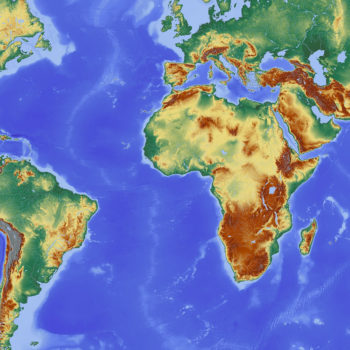
Communicating Spatial and Non-Spatial Information with Cartographic Maps and Figures
A wide range of engineering and environmental projects can benefit from spatial and non-spatial information that is reliably communicated through cartographic maps and figures. These include government planning documentation, environmental consulting firms, forested-areas fire assessment reports, hydrology and geology studies,...